2012-02-17
Walking, maps, and art — some of my favorite stuff — are all wrapped up in one project, “a transect – Due East:”
A body of work based on a series of cross-country hikes that enabled me to generate visual and written notation, correspondence, interviews and historic research. The location is specific to my homeland in the San Joaquin Valley of California where I traveled due east into the foothills and Sierra Nevada Mountains.
–Matthew Rangel, Project Statement
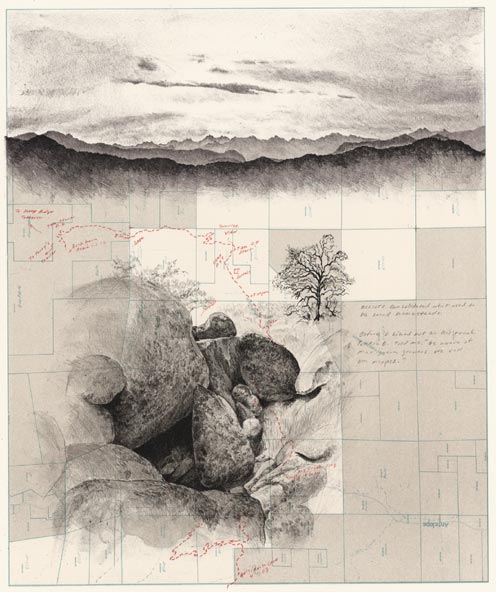 Due East through Elliot Ranch, 2008,
lithograph, 22″ x 28.5″, by Matthew Rangel
A PDF of the collection is at the artist’s site: “a transect – Due East.”
2011-05-20
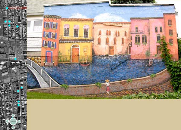
A nice blend of map-based selectable sounds/images at “The Soundlines Project.” It’s a project-in-progress done by Andrea Hammer’s Cornell students about the town of Endicott NY.
2010-10-15
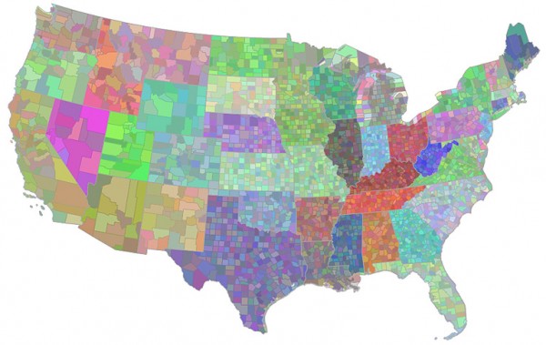
A friend, database/web designer Jon Nehring, is configuring some colored county-level data visualizations (aka, choropleth map) for a client. During dev, a “happenstance created this image in SQL Server”:
2010-09-29
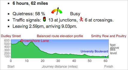
 CycleStreets: UK-wide Cycle Journey Planner and Photomap is a feature-rich route-planner for pedalers. Lotsa info and options, including a choice between the Fastest or Quietest route (or blend of both), an elevation map, an export in GPS format, and turn-by-turn directions w/ type of road (Quiet St, Cycle Track, Busy Rd, etc.).
They just released an iPhone app. Their web version’s in beta, and built on the OpenStreetMap project.
CycleStreets is a UK-wide cycle journey planner system, which lets you plan routes from A to B by bike. It is designed by cyclists, for cyclists, and caters for the needs of both confident and less confident cyclists.
Say you were pedaling from Wolverhampton and Nottingham (hey, I don’t name these places), here’s some of what CycleStreets tells you about your route:
2009-09-07
My bike-tourin’ partner, Josef, suggests we use this map to plot our next trip…
2009 Great American Beer Festival Medal Map
Infographics by Mike Wirth (detail, click for: monster 1M map):

2008-10-10
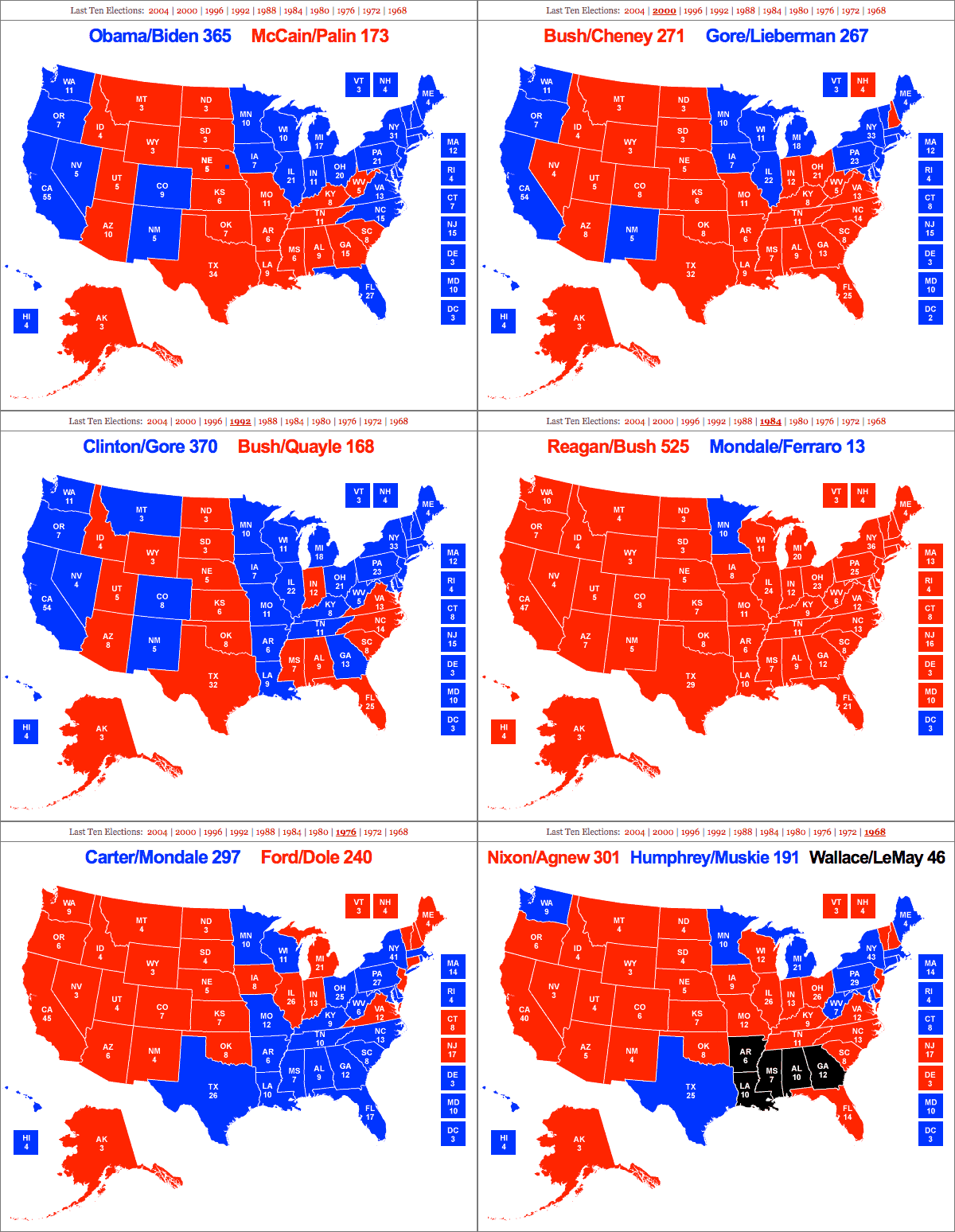
We’ve animated the 2008 and ten previous elections using RealClear’s Electoral Maps:
 Due East through Elliot Ranch, 2008,


